-
1
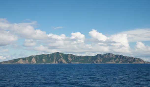
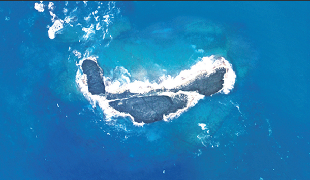
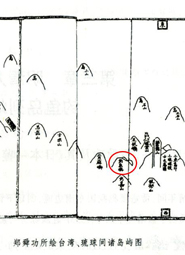
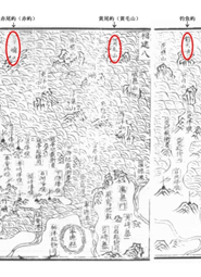
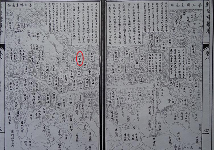
Diaoyu Dao and its affiliated Islands (hereinafter referred to as Diaoyu Dao) are an inseparable part of the Chinese territory. Diaoyu Dao is China’s inherent territory in all historical and legal terms, and China enjoys indisputable sovereignty over it.
-
2
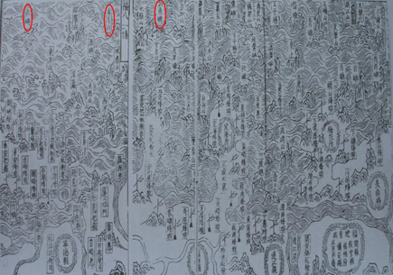
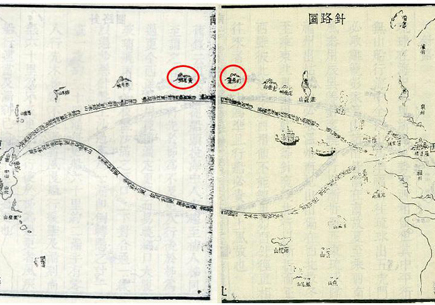
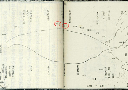
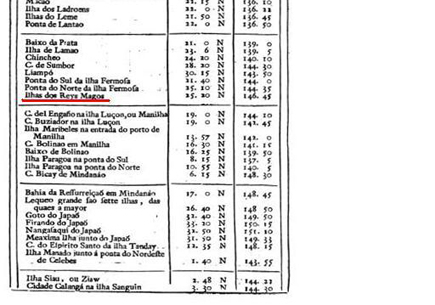
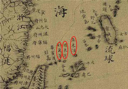
China had exercised valid jurisdiction over Diaoyu Dao for several centuries long before Japan’s so-called “discovery." In 1895, the Japanese government secretly incorporated the islands into its territory by using the advantages gained by the Sino-Japanese War. Japan claimed soveignty over Diaoyu Dao by considering it “terra nullius” (“land belonging to no one”) based on the “occupation” principle on international law. Japan’s such unlawful act is severely against principles of territorial acquisition in international law, which has no legal effect.
-
3
In 1895, China was forced to sign the unequal Treaty of Shimonoseki with Japan, under which the entire island of Taiwan and all of its affiliated islands including Diaoyu Dao, were ceded to Japan. At the end of World War II, Diaoyu Dao was returned to China in accordance with legally recognized documents, including the Cairo Declaration, Potsdam Proclamation and Japanese Instrument of Surrender. In 1952, the United States arbitrarily expanded its jurisdiction of “trusteeship” to include China’s Diaoyu Dao and illegally “reverted” power of administration to Japan. China expressed strong opposition to the backroom deal between Japan and the United States for Diaoyu Dao, which lacked any basis for legality.
-
4
Any unilateral step taken by Japan regarding Diaoyu Dao will not change the fact that it belongs to China. China’s position on Diaoyu Dao has been clear and consistent. China will firmly defend its national sovereignty and territorial integrity.China’s resolve to uphold agreements made after the global anti-fascist war will not be shaken by any force. China has confidence and ability to stand up to Japan’s illegal acts, which have ignored historical facts and international legal principles. Yet, China remains dedicated to safeguarding and maintaining regional peace and order.