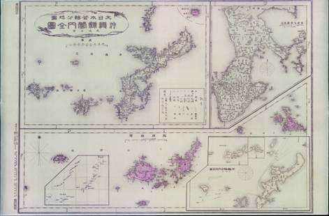
Complete Graph of Okinawa Prefecture
This map was published in 1895, explicitly defining the geographical range and islands affiliated to Okinawa Prefecture. It clearly shows Kume Island as the southwestern boundary of the Ryukyu Islands, and that Diaoyu Dao and its affiliated islands are excluded in the administration of Okinawa Prefecture.
